We got up before six, and started packing to catch a bus to the bus station, which was supposed to leave at 7:15. The bus driver said we would not be leaving before 7:30 though, which should still be fine for our 8am bus from BSI. We used the little time to buy breakfast at the adjacent hostel, which was a great idea – we did not have enough time to take full advantage of the fresh buffet selection but we tried our best to stuff ourselves and still took some sandwiches and coffee for the road. At the bus station we found our bus immediately, as it was the one with the rough terrain wheels – monster bus!
With us the bus was full of French tourists going to the same place as us, as an organised group. They were super annoying, and we thought it was very inconsiderate of the company to use public bus as their personal transport for their groups. On the couple of stops along the way where people wanted to get in, they had problems accommodating them.
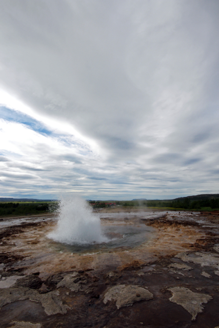
Strokkur
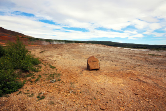
Geysir
The bus stopped at the sights of Geysir and Gulfoss – the most famous (and touristy) geyser and waterfall near Reykjavik. We were happy to see them just on our way somewhere else, so we didn’t have to spend much time and still check them out. At Geysir, there was actually a whole field of geysers and spouts, and despite all the people it was pretty nice. Gulfoss was indeed pretty mighty and roaring, and there was a nice viewing point up above it all.
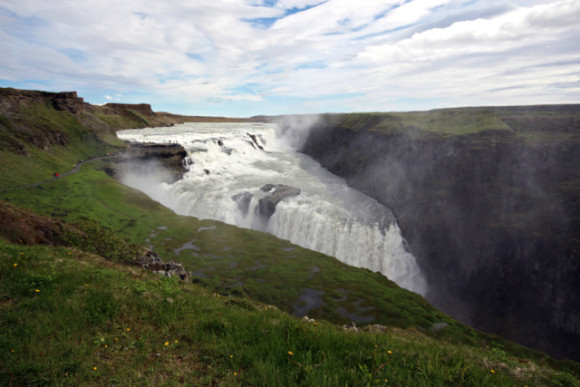
Gullfoss
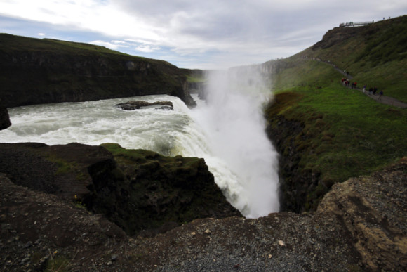
Gullfoss
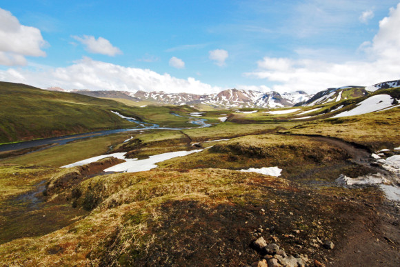
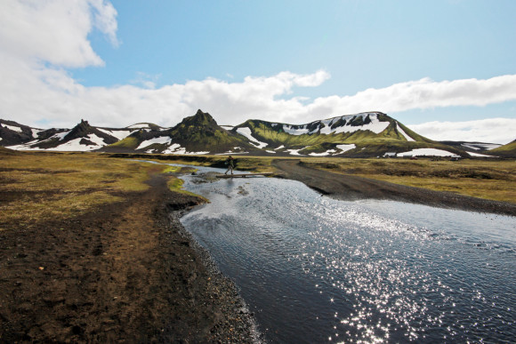
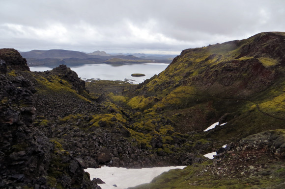
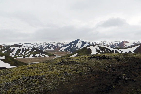
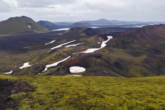
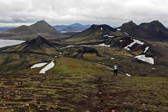
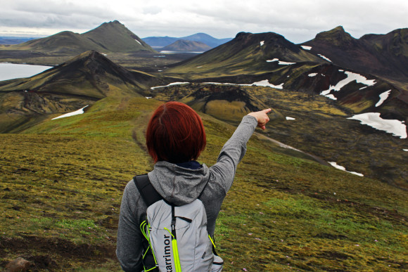
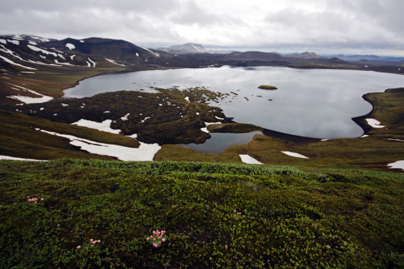
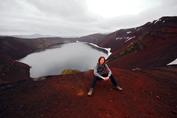
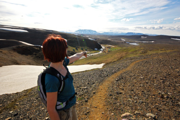
Afterwards, the bus got on the (only very recently opened) highland route 35 to Kerlingarfjöll. The weather was amazing and sunny and we had beautiful views of the landscape and mountains on the horizon, including Hekla, and glaciers, while around us there was some surreal moon-like terrain with snowfield still aplenty. We were getting terribly excited. The bus was doing great on the dirt road, with occasional river crossings and all.
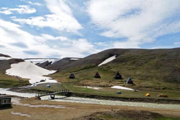
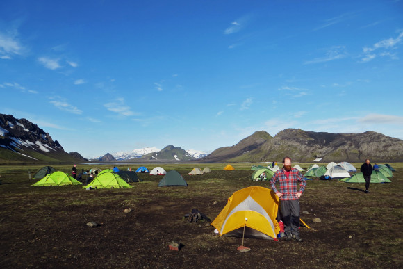
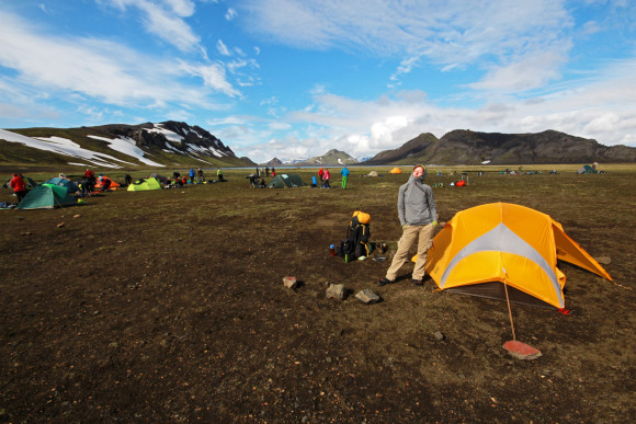
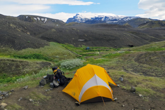
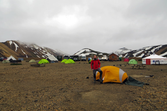
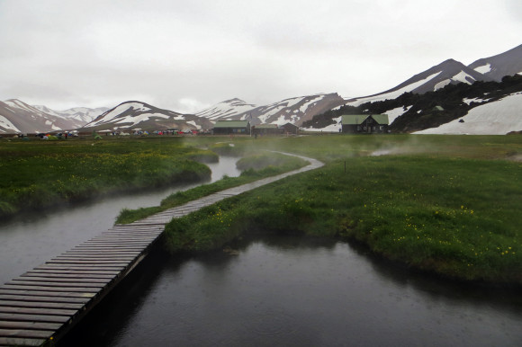
Kerlingarfjöll Camp
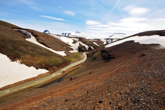
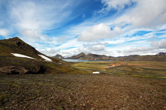
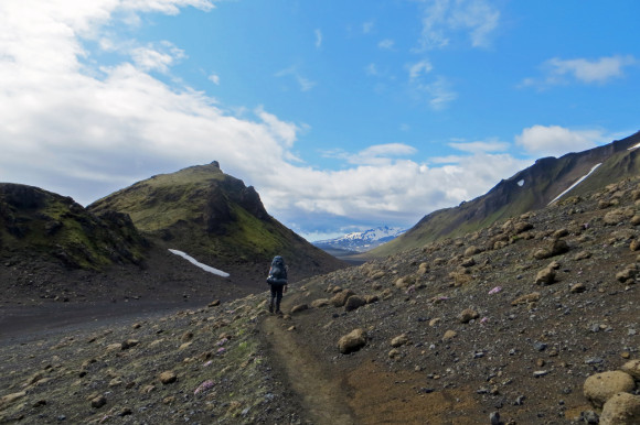
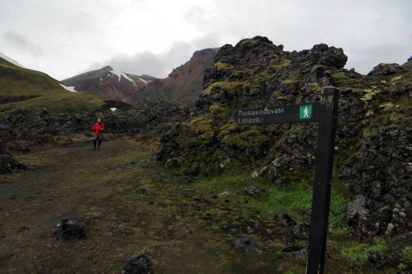
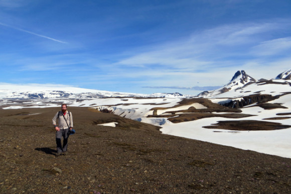
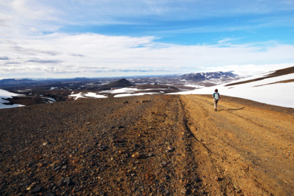
Hiking towards Hveradalir
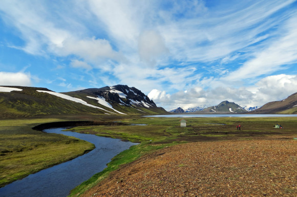
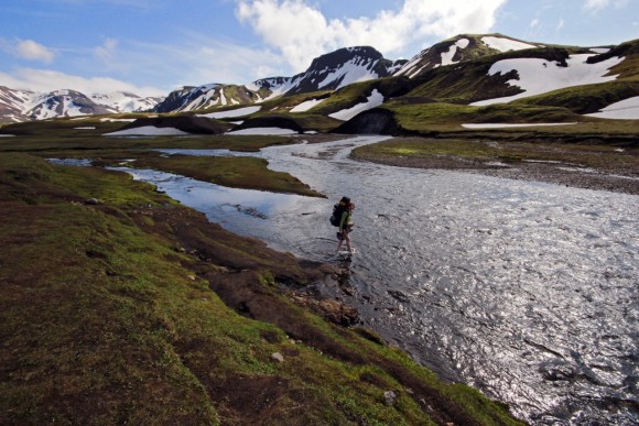
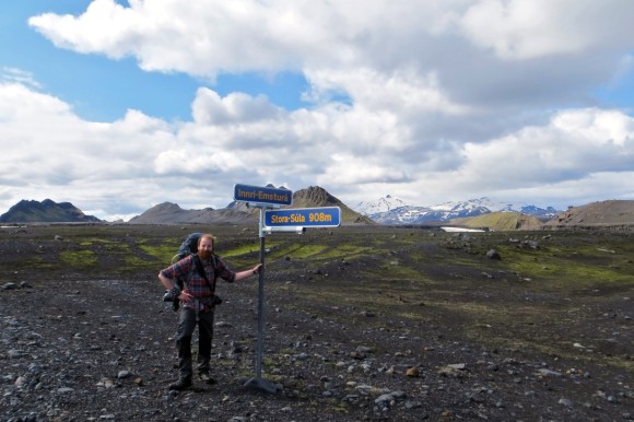
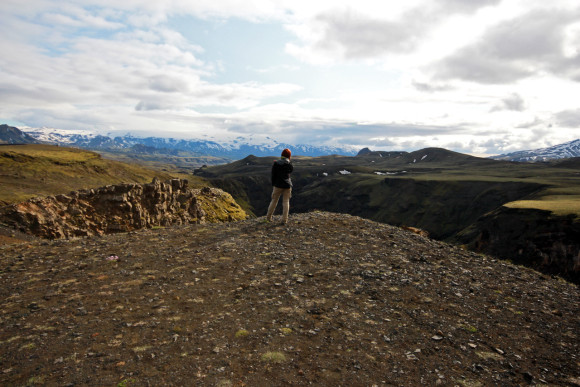
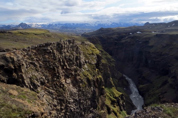
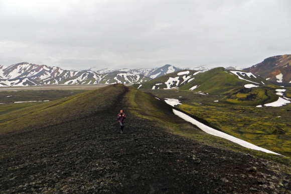
We arrived in Kerlingarfjöll at about 1pm, and the place was awesome. It was beautifully set in a valley of a glacier river, surrounded by mountains with still a lot of snow. There were a few huts (those apparently need to be booked long time ahead for the short summer season they get), and a great selection of spots to pitch. When we checked-in for our tent, we also got a small map with the local hikes, but were also informed that there is more snow than usual for the time of the year, and some of the trails might not be clear. We didn’t care because we’re awesome, slapped a lot of sunscreen on, and set out through the first snowfield towards the Hveradalir geothermal area located in a glacier river canyon.
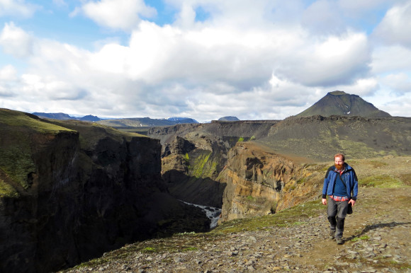
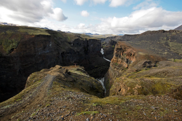
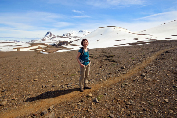
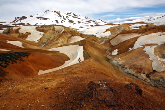
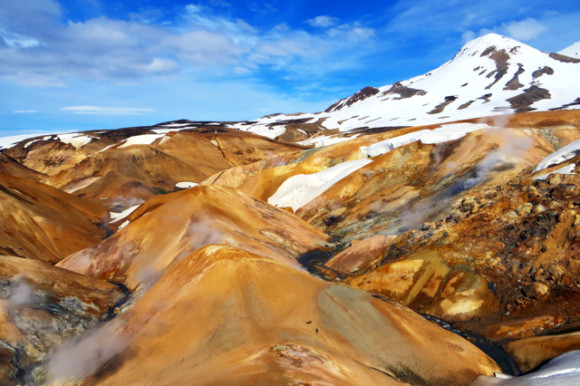
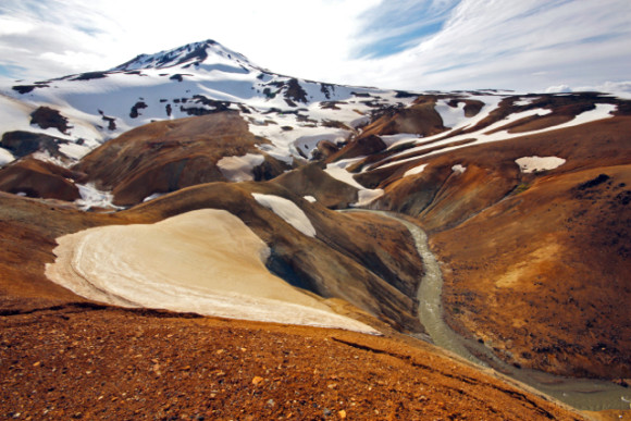
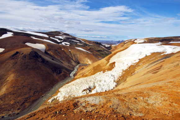
The trail was as scenic as it gets and in about 75 minutes we saw a first spot of spouting sulphuric steam. Once we got to it a whole canyon opened beneath us and it was truly epic – yellowy-orange rock with snowfields, spouts of steam and hot water at various place forming colourful patters on the rocks. We followed the trail on the south side of the river for about half hour until we reached a spot where we saw directly down, and realised that the bridge from our side was gone (with some remains still around) and since the river was quite wide and we didn’t know how deep it would be, we decided to backtrack to the spot of the first steam spout and took the trail on the north side of the river instead. We didn’t regret this detour on bit because it took us through a different branch of the canyon still, may be even wilder than the first one. And with unlimited daylight and stable sunny weather, there was no better place to be.
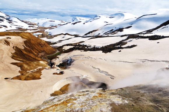
Hveradalir
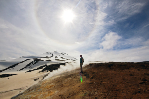
Hveradalir – Gina & halo
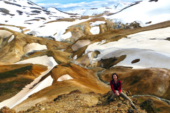
Gina at Hveradalir
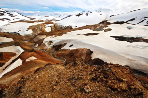
Hveradalir
Once we got back to the same spot we were before, just on the other side of the river, we met again the couple we briefly spoke with before, who did manage to get across the river – turns out that despite being wide it was only about mid-thigh deep (and pretty cold of course). We had some last fun at the bubbling sulphurous mud, and then hiked up the canyon on the other side than we came down and took a nice trail down to our campsite again.
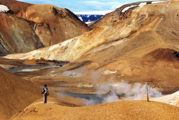
Altogether a nice leisurely 5-hour hike in the sun with some surreal sights. What a way to start our trip! Is it going all downhill from here? Because this will be hard to top.
We took a shower (finally!), made a nice pot of hot ramen noodles, split a beer, and crawled into our sleeping bags at around 8pm already, completely exhausted given our lack of sleep the night before, and also it was getting cold very fast.
