17
Sep 11

Triberg

The morning was quite sunny and fresh, but the forecast for today was really bad, so we didn’t want to go for a long trip, just something quick and painless. Iest suggested we could go see Villingen (not Schweninngen!), so I found this small walk in our book around Triberg, see the waterfalls and all. Of course, it was marked “blue”, so we braced ourselves for a loser-trail, which it of course was.

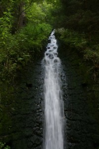
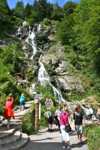
What we did not expect, was that apart from our little path being a loser-trail, Triberg also turned out to be a major tourist destination in the area. The kind that parking in the town costs 60 cents for 20 minutes, and menus in eateries have English translations. This all seems to be due to the fact that the Triberg waterfalls are very well known and frequently visited, and claim to be the highest waterfalls in Germany – 163 m in descent. Which, according to Wikipedia, is actually a false claim.

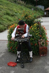
Since we were already there, we decided to just go for it, and have it done with. On the little pathway to the waterfalls, we saw an old guy in traditional costume pretending to play some kind of traditional music instrument, of course only when there was a group of tourists passing by. The dude playing pipes in Glen Coe in Scotland immediately came to our minds – and he still is the best in this trade we’ve seen hands down, world class. This dude was more like a local league in the whole dress-up-and-play-out-of-tune-for-the-Japanese-and-Yanks business.

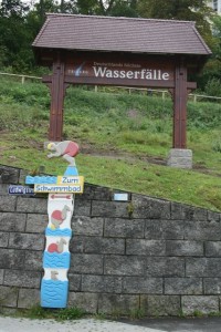
Zum Schwimmbad

Musician

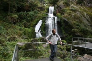
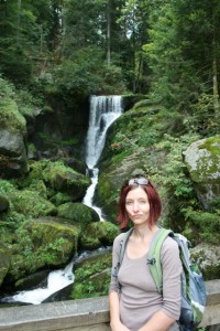
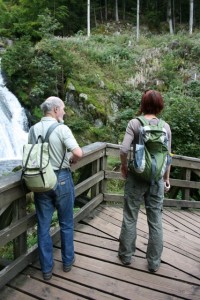
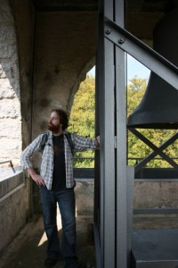
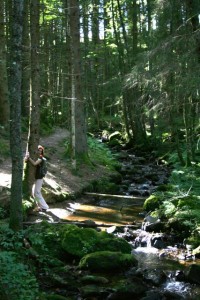
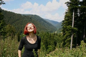
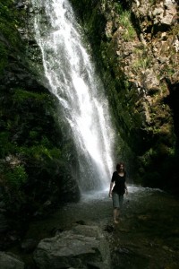
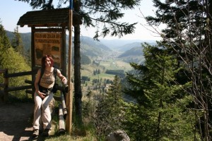
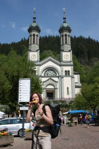
For the waterfalls you actually have to pay an entrance fee to see, bloody SOBs. Anyway, we did pay, and went to see the marvel, as our trail branched off of this little path around the water. The waterfalls are actually quite nice, and the forest around them is one of the few pieces of the Black Forest that is actually natural and not cultivated, and it feels very good. Of course we took some obligatory pictures of us there (and no, you didn’t have to pay for pictures extra), and also this picture of a guy, who had a really old-school Deuter backpack, like twenty generations before my Deuter backpack, really cool!

Iest Triberg

Gina Tribeg

Deuter double

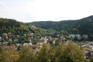
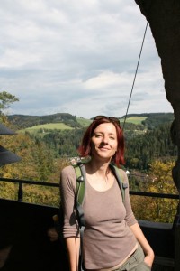
From the waterfalls we followed the trail around the small Bergsee (lake), crossed the valley to the other side, and found the Hindenburg memorial. It is a memorial to the second German president Paul Ludwig Hans Anton von Beneckendorff und von Hindenburg (yes, his name does remind one of this). We got some nice views of the town from up top, and that was about it for the trip.

Triberg _from_Hindenburg

Iest all the way up

Gina_at_Hindenburg

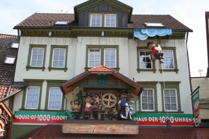
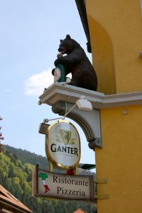
From there we walked back down to town, actually having to walk through the centre this time, and thus exposing ourselves to the hideousness of  such kitsch gems as the “House of 1000 clocks” – the bear on the rope was actually climbing up and down. Ugh. We were happy to get out of there fast.

1000 clocks

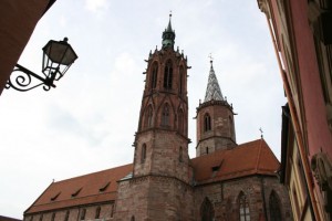
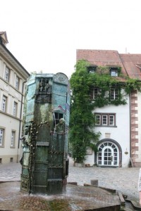
By this point, we were pretty steamy, as no rain has come yet, and it was very hot. Nevertheless, we still went to Villingen, if only to get something to eat, because we certainly did not want to do that (or anything else for that matter) in Triberg. We remain divided in opinion of Villingen – Iest thinks the main street is prettier than the one in Freiburg, I say no way. Not in a million years. But! they do have a beautiful fountain, and that thing actually made the highlight of the whole day for me. The local tourism website has this to say about it:

Built in 1989, the church fountain is a masterpiece by Black Forest artist Klaus Ringwald featuring famous personalities from recent history. It illustrates the 1000-year history of the town. Each of the 8 sides of this work of art is different. They are dedicated to the eras of history of significance to the town.

I just think it is beautiful, and would have taken a million cool pictures of it, if someone didn’t forget to charge his battery camera before our trip.
Villingen Church

Villingen fountain


10
Sep 11

Hinterwaldkopf

Glorious sunshine in the morning, so we decided for a trip with sky-high altitude for spectacular views. We also asked our friend Hendrik, who joined us for the hike for some added fun.

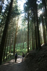
We left Claude in Himmelreich village by the train station, put lots of sunscreen on, and wandered off into the jungly thick greenery of the Black Forest. Soon the trail was pretty steep, and we were happy to be in the shade of the forest, as the sun was doing its job pretty heavily.

Himmelreich greenery

Himelreich forest

Himelreich forest

Finally we emerged from the forest, and found ourselves near the Höfener Hütte with a beautiful view across the valley.

Panorama

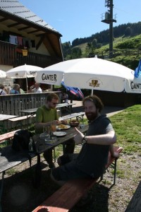
What a place for a beer! Well, in reality we got ourselves Apfelsaftschorle, all organic and bio and from apples of the region, sweet and tasty. Also a cheesecake, which was yum!

Hofener Hutte

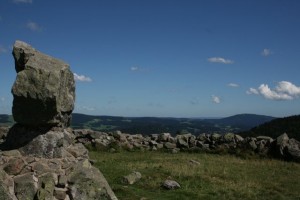
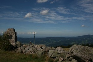
From the hut it was still a little bit to go to the very top of Hinterwaldkopf. Since it was a sunny Sunday, and we had a late start as always, not to mention the recharging stop at the hut, the top was pretty crowded, complete with a bunch of screaming kids and all that. So we tried to enjoy the views for a little bit but didn’t spend too long, and set out on our way down, on the other side of the hill.

Hinterwaldkopf

Hinterwaldkopf

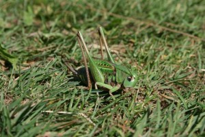
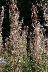
Before we immersed ourselves into the forest on the other side again, we got a good close look at some endemic fauna and flora in the sun.

Fauna

Flora

By the time we got out of the woods down in Hinterzarten, we were pretty tired from the long and steep downhill. We managed to see some very nice waterfalls and hug some trees for energy, but the most energy we eventually got was from the ice-cream in Hiterzarten. This made us miss the train back to Himmelreich by just a minute (we saw it!) because some people (me) cannot eat their ice-cream as fast as other people (Iestyn and Hendrik for example). But it was ok, because the train goes every half hour.

Wasserfall

Gina hug

Hinterzarten station


28
Aug 11

Muhlen-Tour (Water Mill-tour), Simonswald

It was a beautiful, sunny Sunday. We were armed with our wee book of hikes to take in the Süd-Schwarzwald (South of the Black Forest), and the destination for the day was a valley called Simonswald. It’s not far from Freiburg, about 25km to the North East. The trail that Gina picked for us was a circular walk up the valley, high above the town of Simonswald, that followed a gentle river, and dotted along the river were these water mills, which were used to grind wheat and such. They were very pretty wee mills, especially the higher up the valley we went.

Me and the FIrst Mill

Gina and the FIrst Mill

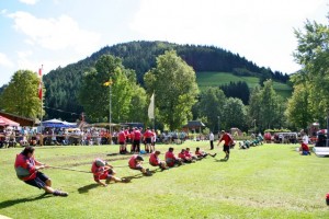
We arrived around noon, to a very busy, jam-packed Simonswald. At the center of the village green, was a competition of manliness;  Tug of war. The village was booming with supporters, as there seemed to be a lot of teams that had come far and wide. We chilled a bit watching the wars, but decided to push on, to find the trail head.

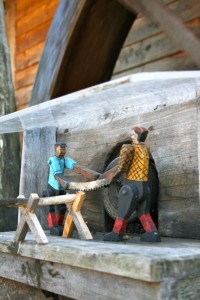
Mill figures

Tug 'o War

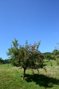
We eventually found the start of the trail, and made our way up the valley. The whole valley were dotted with apple trees, which had some brilliantly red apples on them, whenever we got the chance, we grabbed a few to enjoy on our journey, they were very very tasty. On the lower part of the valley, there was some pretty epic houses and gardens, which Gina liked, as she’s a full grown gardener now.

Apple tree

Nice garden

The sun was blasting on this glorious Sunday, and we were making our way to the top of the valley. The signs of Autumn were getting apparent, as Gina spotted a few red leaves here and there. We passed another water mill, but this one was located in a farmers field, so we decided not to visit it. Just before turning off the road that led up the Valley, we came across a really nice chapel sitting high, overlooking the valley below.

Autumn leaves

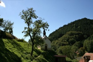
Chapel overlooking Simonswald

From the chapel, we turned into the forest itself. We were treated to fresh Brombeeren (blackberries) and we happily picked and ate as we ventured ahead. After resting in a top-class hütte, we came a a very nice open view of the whole Simonswald valley, where I managed to take this panorama:

Simonswald Panorama

We chilled here for a little while (on the wee bench on the left) to enjoy the view and the sun. From here, everything was a gentle downhill walk back towards the village.

Us

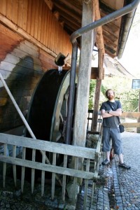
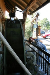
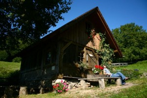
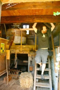
We came to the most glorious mill on the whole circuit. Our wee book even has this mill listed as ‘Top Tip’ – which means, be sure to check this place out. The mill, now it seems, is a walk-in museum of what the mill used to be like back in the day when it was used. Located on the upper floor was the grinder in which they used to grind down the wheat, and on the lower floor was some information about the mill, with some newspaper clippings, as I believe it’s just been newly renovated. It’s called Wehrlehof-muhle, and was built in 1879. As the brook that feeds the water wheel (used to grind the wheat) hasn’t got that much water in it, they’ve built, out of a 10m hollow tree, a shoot to connect the water to the mill, so they made sure it got some water! The outside of the mill looked very nice:

Gina & the Wehrlehof-muhle

Inside the Wehrlehof-muhle

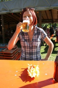
Then from here, we made our way back into the village. The route was right through the forest, where there were a couple of tiny little mills – to which I have no idea what the were used for. We then came out of the forest, and along the road – over the river, which had plenty of fish chilling lazily in it, through an epic apple orchard, to the center of the village where the tug of war was coming to an end. As the activities had drawn in the whole village, beer & food tents were set up, so we decided to grab something small to eat, and Gina had a quick beer!

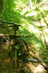
Small unknown mill

Beer & pommes frites

A very nice, gentle Sunday afternoon stroll.


05
Jul 11

Süd Schwarzwald – (South Black Forest) Trips!

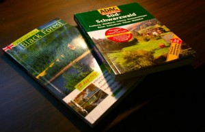
One evening, Gina bought home a couple of books about the Black Forest. One’s full of day trips that we can do with Claude the Auto, and the other if full of hikes in and around the Hills of the Black Forest:

Our Black Forest Books

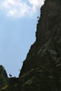
Saturday: So, over the weekend, as the weather was beautiful, we decided to combine both books, by taking a nice drive up the valley, then depart on a short walk. The drive took us up the beautiful valley of  Höllental (Hell’s Valley) – one of the most impressive valleys in the Black Forest. The valley is rich in history and legends, which our book proudly describes to us, and was beautifully narrated by Gina as we drove along. Our first stop was by the ‘Hirschsprung’ (“Deer’s Jump”) – the narrowest  part of the valley, and was originally only 9 metres wide. Thus a common tale is existing about a red deer jumping across the 9m wide valley to escape from hunters, and in commemorative to these fine red deers, they’ve erected a lovely statue on the (now wider) part of the pass.

Deer Statue

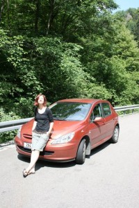
Gina & Claude

After some serious hairpin turns, and an almost full 360 degree corner around a pointed cliff peak in the middle of the road, we arrived at the top of the valley, which we were rewarded with some fine views of the Höllental.

Iestyn & Höllental

Gina &Höllental

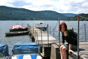
We continued East for a few more Kilometers, until we reached a nice lake called Titisee. Here was our walk for the day – a 7km gentle round circuit of the lake. It was indeed a really easy trail, as people from all strokes of life wandered around the lake with us. I enjoyed the leisurely stroll, but we now know, that the blue coloured  routes on our walking book is indeed aimed for old people :)

Titisee

After filling our bellies, we decided to take another route home, and do a circular trip with Claude. We headed West towards the village of Todtnau (where we went to before), and then up the Todtnauberg Valley, where Germany’s highest natural waterfall crashes at 97m high, the “Todtnauer Wasserfall”. It’s a pretty area, where you can climb up above the falls, dip your feet into the water, and look down the valley. Located above the waterfall, there is a bridge, that you can cross the falls, and go hiking up and around the woods.

Gina on the Bridge

Gina Chilling

The Todtnauer Waterfall

And from there, we headed home to Freiburg.

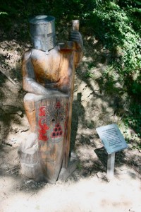
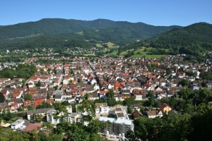
Sunday: Late on Sunday evening, we decided to go for another trip, this time exploring the North. Our destinations were the village of Waldkirch, and the peak of Kandel. Waldkirch looked like a very sleepy village, and is quite famous for creating the musical Organs. Here also, there is a castle – the ruins of Kastelburg. We headed up the ‘Knight Trail’ and was awarded with a beautiful view over the whole village, and the pretty Kandel sitting high above.

A Knight on the Knight Trail

Waldkirch & Kandel

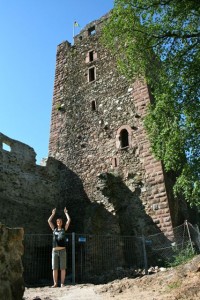
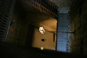
The castle is a fine castle. Built right ontop of a rock. There were stairs going right up to the top, but, as I can’t stand man made heights, I found it very hard to go up two levels. Gina on the other hand, made it all the way to the top without any trouble, and manage to take a few pretty pictures of the view (like the one of the village above).

Gina & Kastelburg Castle

Looking down from the top

After pottering about a wee bit, we set our eyes on the peak of Kandel. Claude the Auto took us all the way to the top, just over 1200m high. We had spectacular views of the Black Forest from the summit, but it was a shame the haze of summer was closing in, and we couldn’t see beyond the Forest, it’s said that on a fine day, you can see as far as the Vosges, and even the Swabian Alb. There’s some pretty epic legends about this hill. In earlier time, the Hill was known as ‘The Witches Mountain of the Black Forest’ – and to this day, the cliff is called ‘Teufelskanzel’, which translates to ‘Devil’s Pulpit’.

Kandel Summit View

Gina locating Claude

And that concludes our epic first trips around the Black Forest. There will be plenty more to come in the future!


24
Apr 11

Aha – Todtnau, Black Forest Walk

Day 1. Aha – Feldberg (Red line on Map below)

Over the Easter weekend, we did our first epic hike of the Black Forest. We caught the train from Freiburg to a little village called Aha, on the shores of Schluchsee lake, South East of Freiburg. It was a really pleasant trip on the train, enjoying the scenery, and looking at the locals eating sweets.

After a quick lunch on the lake, we headed West, around the Northern shore of the lake, and into the Wilderness of the forest. After ascending for a bit, we were rewarded with a beautiful view of the Schluchsee, and that lovely feeling of Spring, as the trees were starting to bloom.

Schluchsee

Break at Rosshutte

After gaining some height, we stopped at the Rosshutte for a quick break, to read the map, and get some water from a wee spring that was situated behind it. From reading the map, we decided to take a lovely walk up to the highest peak in the area, seeing as it was a viewpoint. This peak was called Zweiseenblick [and as the German enthusiasts among us know, this actually means two-lake-view]. After a joyous walk, we reached Zweiseenblick. It was quite full, it was almost a Tourist Highway, as there was a good group of people at the top, enjoying the views of the Black Forest. We decided not to stay long, and make our way towards Feldberg.

Me looking towards Feldberg

Gina, her Deltoid and the Menzenschwand Valley

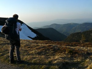
Along the way, there plenty of photo opportunities. We saw Feldberg (1,493m) with it’s towers, (which was our destination on day one), and the beautiful Menzenschwand Valley, where Gina showed me how strong she is, (On the photo above, check out her Deltoid!! She’s not even flexing!!) where we can see the town of Hinterdorf – plus a description of how this glacial valley came to be. All in German though.

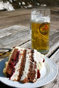
We made speed, and headed towards Feldbergernof, which is a small, odd place. It’s geared towards the skiers, and snowboarders in Winter, as the slopes of Feldberg above is perfect for beginners for skiing – but as the snow was just about, all gone – it was full of tourists, who was there to enjoy the views. We headed to the cafe, and I got myself my First Black Forest Gateaux since my arrival here. It was very good, and washed down with some beer.

Gateaux a Beer

We headed up to the summit of Feldberg, the highest summit in the Black Forest. Here, on a good clear day, you can see the whole of Alps, and able to make out the Eiger, Jungfrau and even Mt. Blanc. Unfortunately for us the haze was in, so we couldn’t see beyond the Black Forest – but it was still very nice. There was still a bit of snow nested in the shadows of the sun, hidden within folds of the mountain, but the views of the Black Forest were beautiful.

Feldberg Summit (1.493m)

Black Forest

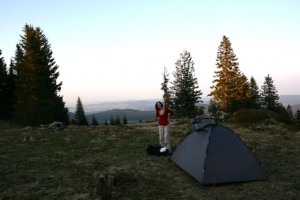
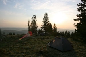
We decided to pitch our tent just off the summit, overlooking the Feldsee lake. A pretty wee circular lake, nested right at the bottom of 300m cliffs, to the East of the summit. According to legend, there’s a ghost that spooks the lake, shouting to hikers “Hey, you! You’re going the wrong way! If you want to go to Feldberg, you must take the different path!” If you look at him then, the spell is broken. No-one knows however, if this rewards the spirit and set him free. For dinner that evening I had some noodles and mushroom sauce, and Gina didn’t eat any, she just went to sleep after all day fun in the sun. Gina fell asleep quite fast, but i played around on the top, looking at the stars, and taking some photographs. As I headed into bed, I realised that I’d forgotten my sleeping mat at home. Luckily for me, it wasn’t very cold that evening, and I managed to sleep ok.

Gina at the Camp

Morning at Camp

Day 2 Feldberg – Todtnau (Blue Line on Map below)

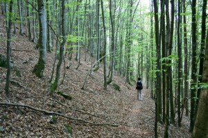
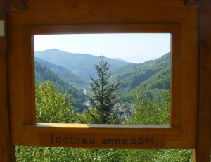
We woke up super early, and made our way back up towards the summit of Feldberg. There wasn’t a soul around, and we were in for another beautiful, hot day. The trek was mostly contouring around Stubenwassen, making our gentle downhill approach to the village of Todtnau. It was a good mornings hike, through very pretty forest, and some un maintained trails, resulting in us taking the wrong path, I was pretty certain there was a Map Black Hole at the point, as nowhere made any sense on the map. Anyhoo – we managed to get back on track, and found a nice picture frame, sitting nicely above Todtnau.
Pretty Forest

Todtnau

Pretty much all the way on this second day, only one thing was on Gina’s mind – Twister Ice cream. So after arriving (after what seemed like an endless downhill from the picture frame), we came to the sleepy Village of Todtnau, where there was a nice market going, which felt really nice. We had some ice creams, (they didn’t have Twister unfortunately) and figured out how to make it back to Freiburg via a bus that was going directly there in an hour or so.

Pub in Todtnau

Ice cream, Gina & Church

It was a lovely trip, and a great first proper hike in the Black Forest. It’s such a beautiful part of the World.

Here’s our route marked out on Google Maps. If you can’t view it – please let me know.


View Black Forest Walks in a larger map